 |
(Personne absente de la base de donnée)
|
-
Research topics : Modelling volcanogenic tsunamis and associated population evacuations on volcanic island coastlines
Start of PhD: October 1st 2022
Funding: Centre International de Recherche 4 (CIR4) / I-SITE
Supervisors: Andrew Harris (LMV), Catherine Aaron (LMBP), Raphaël Paris (LMV)
Collaborations: Istituto Nazionale Di Geofisica e Vulcanologia (INGV-Pisa), Dipartimento della Protezione Civile (DPC-Roma)
Abstract and objectives of this PhD:
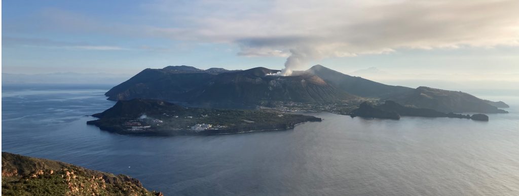
Based on a collaboration between INGV-Pisa, Italian Civil Protection (DPC), the University of Florence (LGS), and LMV/I-SITE, large and small-scale evacuation maps have been produced for the populated shoreline area of Stromboli. The maps are based on the warning system operated by LGS where, in the event of a flank collapse, the shoreline needs to be evacuated below a height of 10 m within 4 minutes. While four minutes is the time between the detection of a tsunami due to a landslide on the Sciara del Fuoco, 10 m was the run-up for the December 2002 tsunami which is the event scenario used by DPC. A unique methodology has been developed at LMV to map fastest escape paths from every door, and beach location, in the vulnerable zone. This involves first carrying out a building and escape route inventory, and then using a GIS to assess the times needed to move from each vulnerable point to the exits of the tsunami run-up area (Bonilauri et al., 2021). In collaboration with INGV-Pisa, DPC and LGS, and now also and the Department of Mathematics at UCA, this PhD will now advance this methodology by convolving physical modelling of the process, while extending the study to three other highly vulnerable Aeolian Islands: Lipari, Panarea and Vulcano. The PhD will focus on physically modelling wave arrival times, heights and run-up, as well as statistically modelling crowd distributions, and will integrate wave arrival probability distributions with crowd density statistics. At all four sites, we will define the full range of event scenarios (i.e., wave height and travel time from landslides and/or pyroclastic flow entry into the sea of various sizes) using numerical modelling (cf. Esposti-Ongaro et al. 2021), as well as historical records and interviews. We will then assess the crowd sizes and demographics in the winter and summer populations (as well as during night and various times of day), allowing the spatial and temporal distributions of the crowd to be statistically defined. Merging the two statistical distributions will allow modelling of the final step: best evacuation route and required escape time. Overall, the method will be set up to be of use for any vulnerable volcano island, which tends to be highly populated at the shoreline (e.g., Oahu) and tourist honey pot sites (e.g., White Island).
Current case studies: Aeolian Islands, Italy
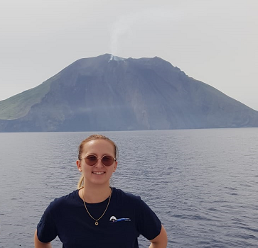
Stromboli Vulcano 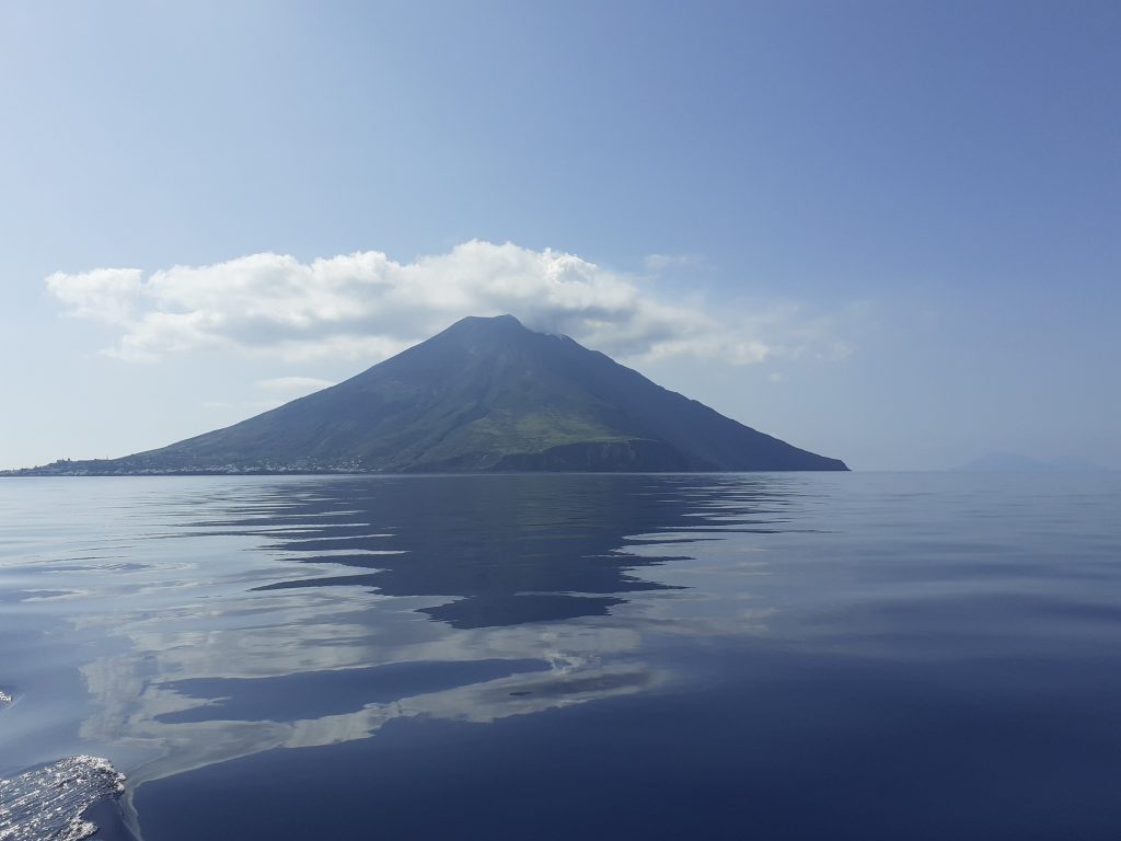
Links
Google scholar : https://scholar.google.com/citations?user=mgTC1x0AAAAJ&hl=fr
Researchgate : https://www.researchgate.net/profile/Emmie-Bonilauri
-
Scientific and administrative responsibilities :
- Council member of the Observatoire de Physique du Globe of Clermont Ferrand (OPGC) – Collège USAGERS (2022-)
- Organiser of the VolcaPots (2022-)
-
Activités d’enseignement :
-
Publications LMV:
Rang A :
- Bonilauri E., Aaron C., Cerminara M., Paris R., Ongaro T.E., a Calusi B., Mangione D., Harris A. (2024). Inundation and evacuation of shoreline populations during landslide-triggered tsunamis: an integrated numerical and statistical hazard assessment. Natural Hazard and Earth System Sciences vol.24, p.3789–3813, - DOI:10.5194/nhess-24-3789-2024 -
 .
. - Bonilauri E., Harris A., Cerminara M., Lacanna G., Mangione D., Paris R., Aaron C., Esposti Ongaro T., Ripepe M. (2024). Near field tsunamis on volcanic islands: blueprint for risk management using Stromboli as a test bed. Annals of Geophysics vol.67, 4, - DOI:10.4401/ag-9159 - .
- Bonilauri E., Harris A., Morin J., Ripepe M., Mangione D., Lacanna G., Ciolli S., Cusolito M., Deguy P. (2021). Tsunami evacuation times and routes to safe zones: a GIS-based approach to tsunami evacuation planning on the island of Stromboli, Italy. Journal of Applied Volcanology vol.10, 4, - DOI:10.1186/s13617-021-00104-9 - .
Rang B et C :
- Bonilauri E., Aaron C., Cerminara M., Paris R., Ongaro T.E., a Calusi B., Mangione D., Harris A. (2024). Inundation and evacuation of shoreline populations during landslide-triggered tsunamis: an integrated numerical and statistical hazard assessment. Natural Hazard and Earth System Sciences vol.24, p.3789–3813, - DOI:10.5194/nhess-24-3789-2024 -

